National Weather Service (NWS) Seattle office forecasters issued a High Wind Watch this morning for Sunday evening to late Monday evening. Northeast sustained winds of 25 to 45mph with gusts of up to 55mph are expected.
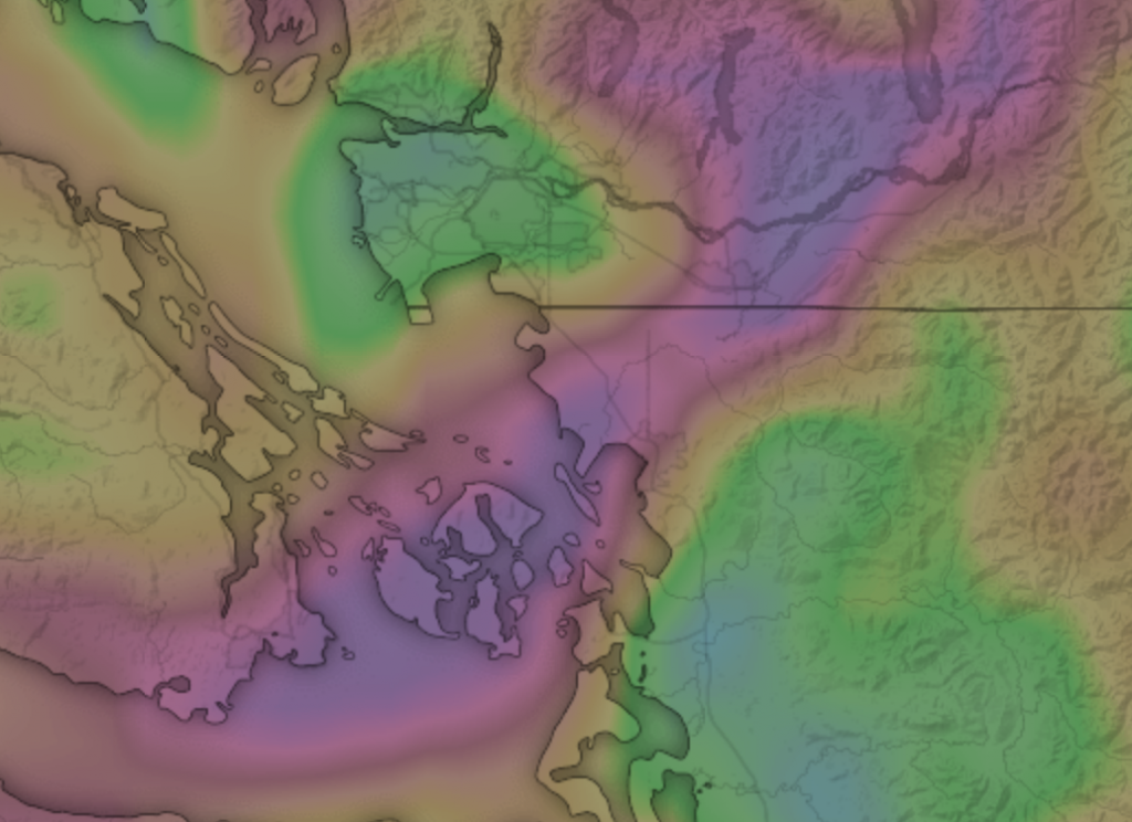
Weather forecasters are attributing the high winds to a Fraser Valley outflow event. The term describes powerful northeasterly winds that follow a relatively narrow path that crosses the northwest corner of Whatcom County through the Ferndale area (see graphic).
Winter Fraser Valley outflow events can result in dramatic drops in temperature as the winds pull frigid air from the higher elevations into the Puget Sound lowlands.
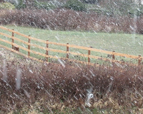
Temperatures are expected to drop into the low 20s and possibly into the teens with single-digit wind chill values by late Sunday afternoon.

Click for more information

Click for more information
The potential for snow in the Ferndale area remains in question. NWS forecasters said this morning there is a high expectation of a convergence band that will stretch north to south with “the potential to drop a few inches of snow fairly quickly.” What they are still unsure of is where this band will be located. Half the computer weather models place the band over Puget Sound away from populated areas while the others place it over the I-5 corridor. “Obviously this has huge implications as far as impacts go and a shift of a few miles could mean the difference between snow for a large population or no snow at all.”
NWS forecasters also issued the following Special Weather Statement this morning for the Puget Sound region including western Whatcom County.
There is a threat of lowland snow showers across Western Washington Sunday afternoon into Monday morning as a cool and moist weather system tracks over the region. Snow levels will be close to sea level. Given the showery nature of this system, snow amounts will not be uniform across the region. However, heavy accumulations are possible with stronger showers. Showers will decrease in coverage Monday morning into afternoon as this system exits south of the area.
Discover more from Whatcom News
Subscribe to get the latest posts sent to your email.