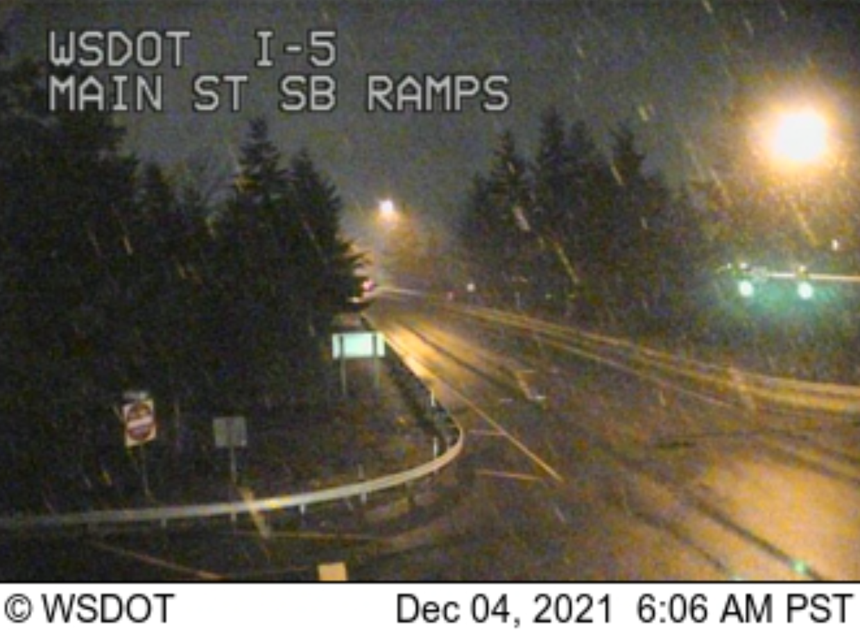
WHATCOM COUNTY, Wash. — While accumulations are not expected, snow appeared in the skies and was providing a light dusting by 6am in many places across the Whatcom County lowlands this morning, December 4th.
Reader reports spanned between Ferndale Sandy Point and the foothills in the eastern county. Some locations were reporting a snow-rain mix.
This snow event was forecast on Thursday and is not expected to result in any significant accumulations.
A rainy and snowy mix is still possible today across the San Juans, northern Olympic Peninsula, as well as western Whatcom and Skagit counties. At this point, no accumulation is expected in these areas, but it may be enough to be visible on grassy surfaces for a short amount of time before the snow levels rise and rain fills in.
Advertisement
Click for more informationNational Weather Service Seattle office (December 4, 2021)Advertisement
Click for more information


Current weather forecast computer models mostly agree this will be a short-lived event ending about 1pm or sooner with up to 1.5 inches of precipitation falling.

There is winter weather advisory in effect until 4pm today in the Cascade Mountains for elevations above 2,000 feet where accumulations of a foot or more are possible.
Whatcom News readers are encouraged to stay up to date with current weather alerts and forecasts and air quality readings for their specific Whatcom County locations along with tide tables via the Whatcom News Weather page.
Discover more from Whatcom News
Subscribe to get the latest posts sent to your email.