Snow levels will begin near sea level, then rise by Wednesday morning.
Posts tagged as “snow”
Low temperatures are expected to drop into the single digits in most areas.
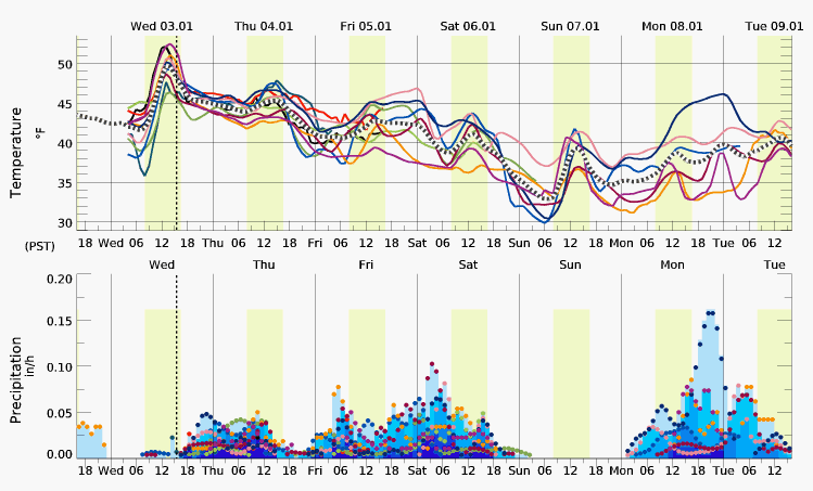
Low temperatures Sunday and Monday mornings are currently expected to be near freezing.

1 to 2 inches of snow accumulation is possible above sea level and no accumulation at sea level.
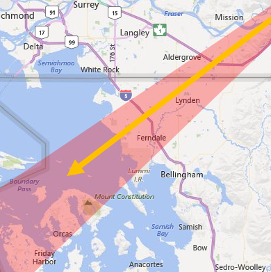
Up to 2 feet of new snowfall is expected in the higher elevations.
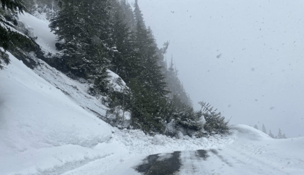
UPDATE 2:20pm - WSDOT officials said the road had been cleared of the slide debris and had been reopened to traffic.

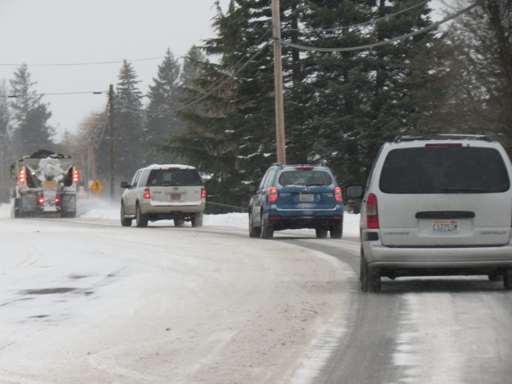
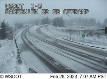
Slick driving conditions have been reported due to sub-freezing temperatures and frozen precipitation remaining on roads from yesterday's snow event.
An opportunity for yet another snow event is in the forecast.
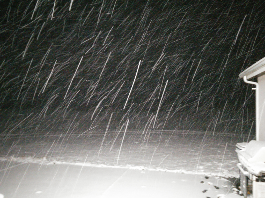
The announcements follow overnight snow with sub-freezing temperatures.