WHATCOM COUNTY, Wash. — Washington State Department of Transportation (WSDOT) traffic cameras, as of 4:25am, showed a visible difference in road conditions between the south and north regions of Whatcom County due to an early morning snow event today, December 6th.
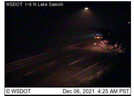
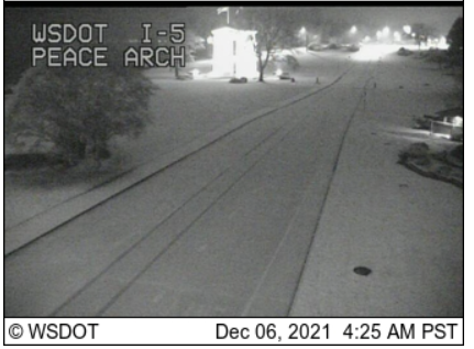
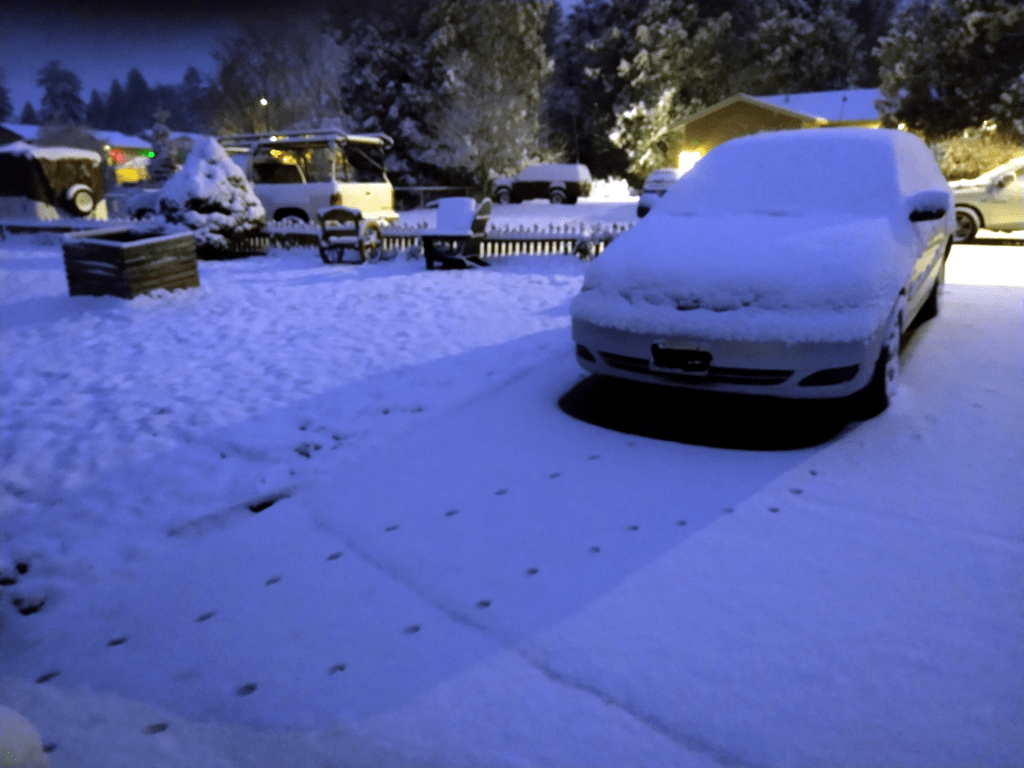
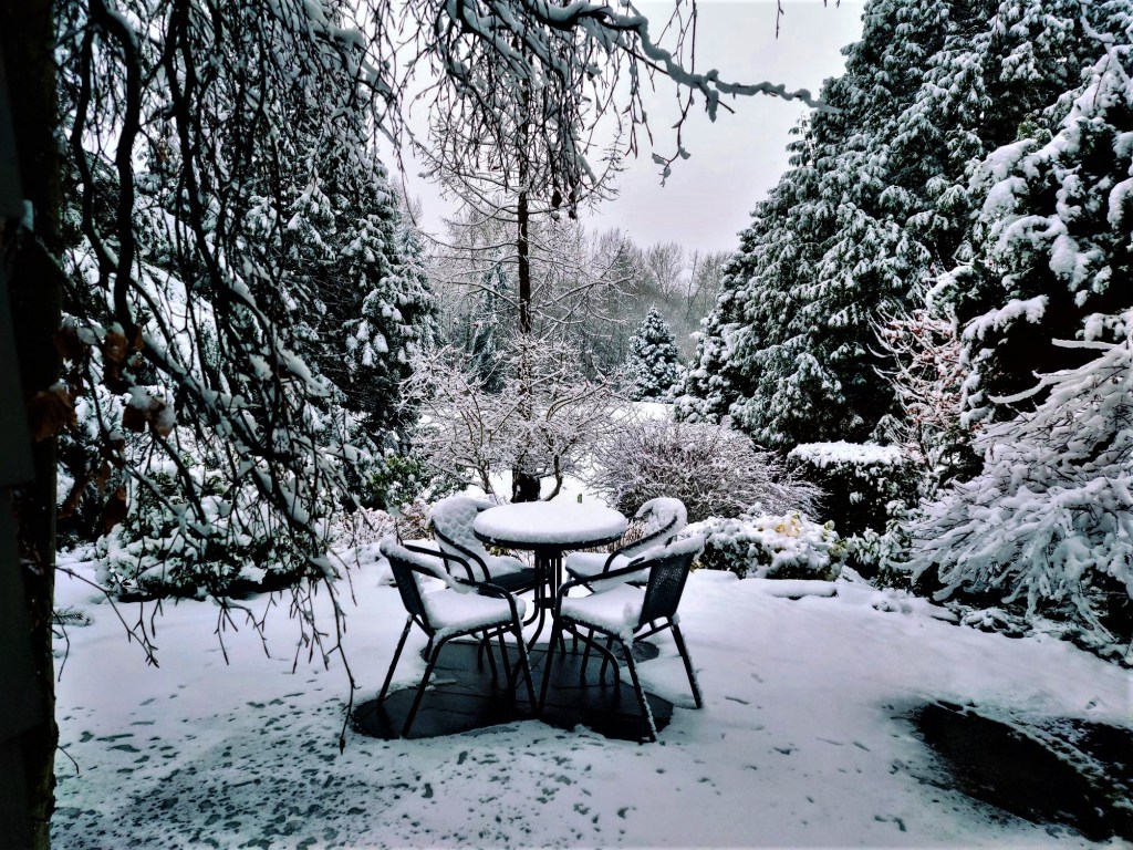
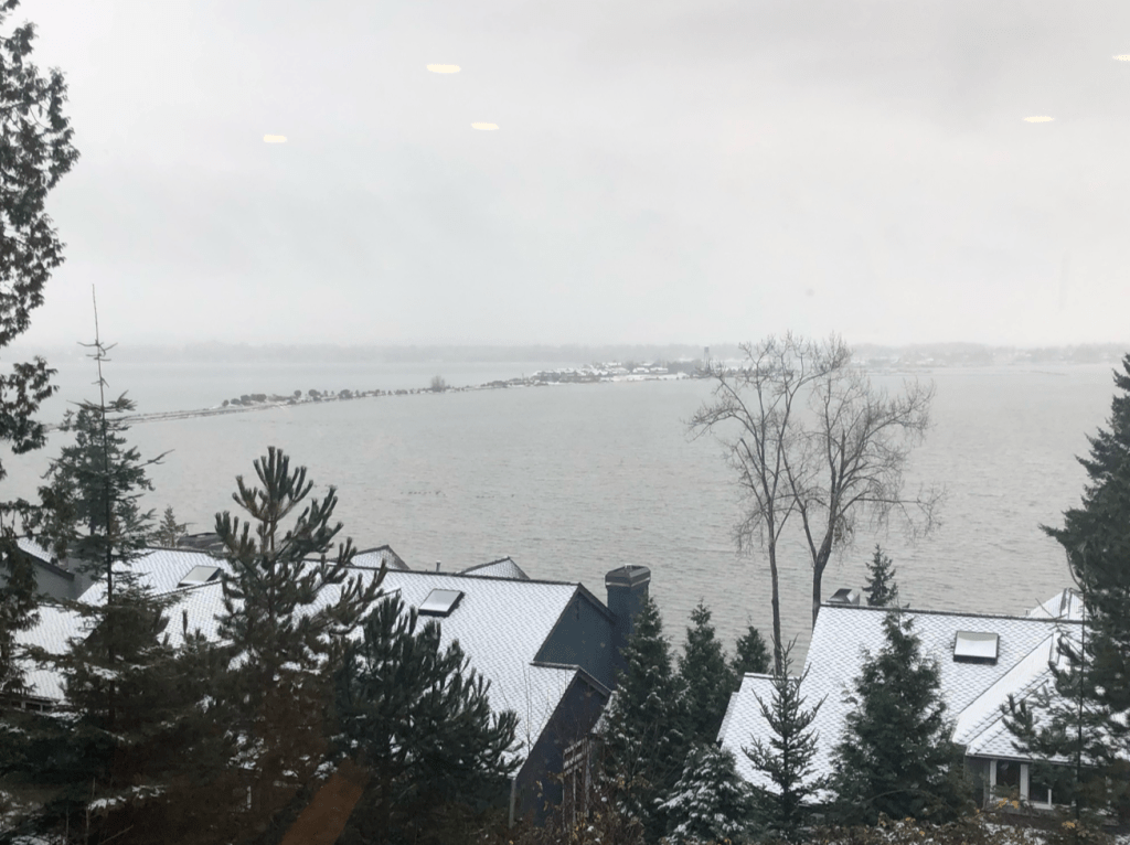
Measurable accumulations could be found throughout the County north of Bakerview Road.
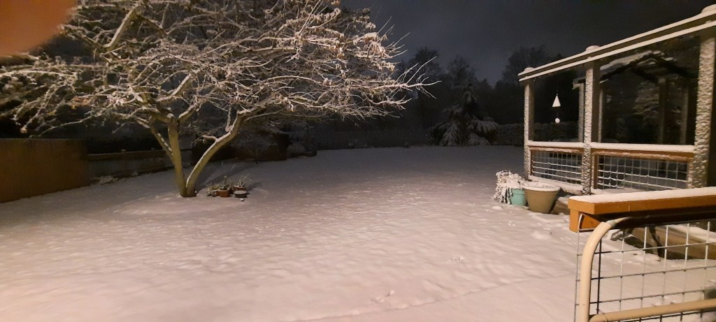
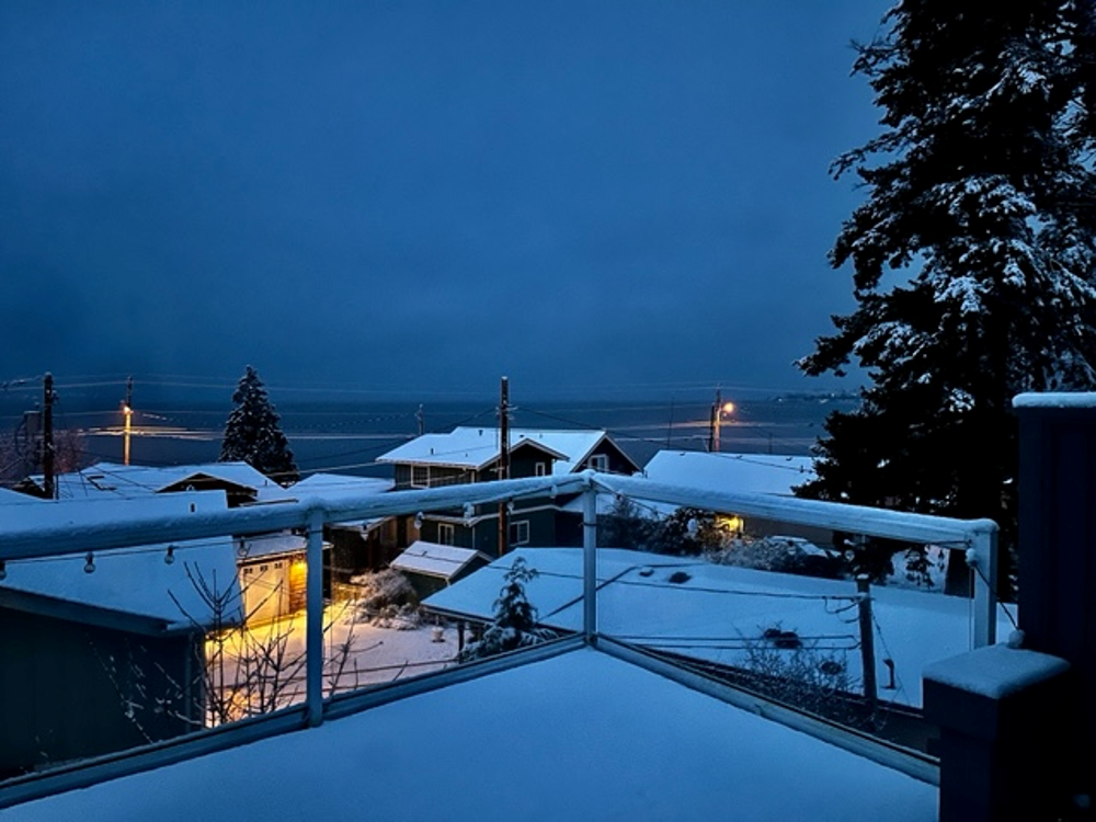
Accumulations in some north county areas had already exceeded the 1-inch maximum forecast yesterday with nearly 2 inches having fallen in some Ferndale areas and more to the north and east by 4:30am.
The forecast is for the snow to change to rain west of the foothills by noon.

Click for more information

Click for more information
As of 5:30am, temperatures were in the low 30s in the north county and mid-30s in the south county.
By 5:30am, there had been reports of a handful of non-injury but likely snow-related crashes. This included when a Washington State Patrol vehicle was struck on I-5 while the trooper was on-scene of a single-vehicle crash at the Portal Way northbound on-ramp.
WSDOT snowplows could be seen clearing sections of I-5.
Whatcom News readers are encouraged to stay up to date with current weather alerts and forecasts and air quality readings for their specific Whatcom County locations along with tide tables via the Whatcom News Weather page.
Conditions vary by location. Readers are encouraged to share information and photos (send to news@whatcom-news.com or text msg to 360-223-1438) from around the county for the benefit of all.

Discover more from Whatcom News
Subscribe to get the latest posts sent to your email.