National Weather Service (NWS) in Seattle says to expect a frontal system to sweep across western Washington today bringing heavy snow to the mountains and rain and windy conditions over the lowlands. Winds today are not expected to become strong enough to warrant advisories according to forecasters but some weather computer models point to southerly gusts near 50mph in the western Whatcom County area. Up to a half-inch of rain is expected today.

Following right behind is a cold low pressure system that will move over the region later tonight bringing a strong surge of Arctic air. With its arrival, snow levels are expected to drop to near sea level creating conditions for snow in the lowlands. Strong northerly winds are also expected late tonight and continue through Sunday. A drier and chilly air mass will take over on Monday.
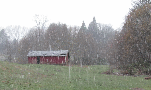
Snow is also expected overnight and into the morning hours before 10am Sunday. Officially, the NWS forecast says new snow accumulation of a half-inch to 1 inch is possible. But computer models are in lockstep an accumulation of 2 to 3 inches is likely in western Whatcom County.
The National Weather Service has issued a Wind Advisory, for midnight tonight to 6pm Sunday. The advisory forewarns of sustained 20 to 35mph winds from the north with local gusts to 55mph late tonight. Winds are expected to peak late Sunday morning through early Sunday afternoon. With temperatures near or slightly above freezing, these winds can create wind chill values in the teens and lower 20s.
By Sunday night, skies are expected to be clear with temperatures in the teens and lingering winds creating wind chill values that could dip below 10°.
Dry and cold weather is expected to stick around until Tuesday night when a new system moves into the area bringing an expectation for more snow. There is no agreement among computer models regarding how much snow to expect Wednesday as they are equally dispersed between 0 and 3 inches.
Discover more from Whatcom News
Subscribe to get the latest posts sent to your email.