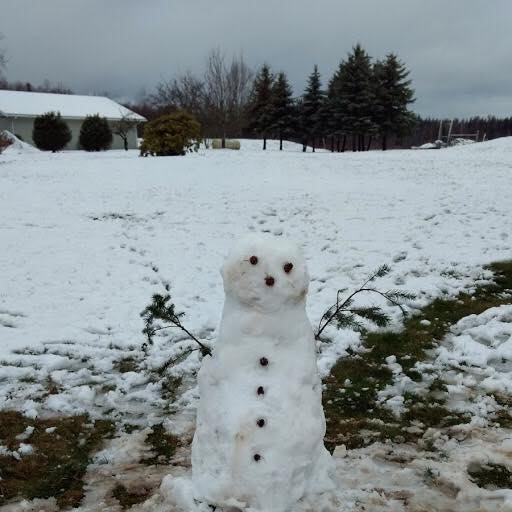
It was thought earlier today that early afternoon flurries were all the Ferndale area could expect in the way of frozen precipitation today and tonight. But updated forecasts issued mid-afternoon signaled a change.
National Weather Service (NWS) Seattle office forecasters updated their forecast for Saturday evening around 3pm.
According to the updated NWS forecast, there is a 60% possibility of snow in the Ferndale area after 11pm and less than a half-inch accumulation is possible. There is also a chance snow showers will continue before 11am Sunday.
But according to the Weather Underground BestForecast™ (WUBF) forecast, the Ferndale area can expect only a 25% or less chance of snow and if it does occur it will be between 9pm and 6am.

Click for more information

Click for more information
Both services underestimated the length of time today’s snow flurries would linger, with initial estimates ending at around 2 to 3pm. The Ferndale area saw snow flurries between 1pm and 5pm.
Environment Canada’s (EC) forecast says to expect periods of light snow from Saturday evening through 11am Sunday. A special weather statement issued by EC says lower mainland locations have a chance of 0.75″ of accumulation overnight.
All services agree that wind should not be much of a concern during this time with both NWS and EC forecasting NE winds under 30mph and WUBF forecasting them under 15mph.
Discover more from Whatcom News
Subscribe to get the latest posts sent to your email.
