
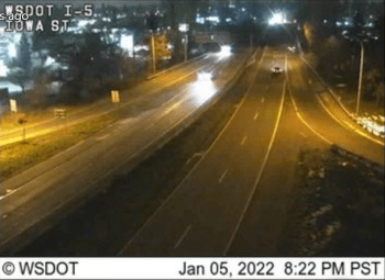
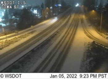
WHATCOM COUNTY, Wash. — Snow began falling across areas of Whatcom County about 8:30pm last night, Wednesday, January 5th. By 1am, all areas were seeing a few inches of accumulations and driving had become more challenging, especially on hills, according to first responder reports.
By 1am, temperatures across the Whatcom County lowlands were reported in the mid- to upper-20s. By 4am, precipitation began ending over the county while cold temperatures remained.
A change from the frigid northeasterly winds to warmer southeasterly winds is expected by noon.
The local weather forecast is for the precipitation to resume later this morning changing from snow to rain during the morning hours as temperatures warm towards 40° or higher by early afternoon. There is a chance for freezing rain during the transition. The snow level is expected to rise to 4,000 feet.

Click for more information

Click for more information
Overnight lows tonight are to remain well above freezing across the county staying around 40°.
With the rain and snow melt, concerns turn toward the potential for river flooding. While flood warnings are being issued for other rivers in western Washington, the current river level forecast for the Nooksack River is not concerning as it is expected to crest well below action levels at key indicator points.
Readers are encouraged to stay up to date on local driving conditions via the Whatcom News Traffic page.
Discover more from Whatcom News
Subscribe to get the latest posts sent to your email.