WHATCOM COUNTY, Wash. — National Weather Service forecasters out of the Seattle office have issued a winter storm watch for between 6pm, Wednesday, January 5th, to 4am on Thursday due to an expected snow event.
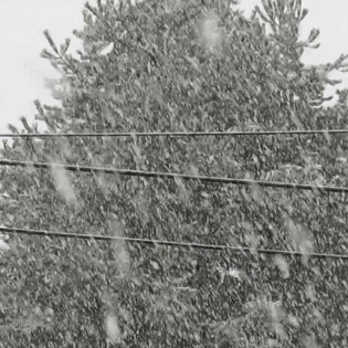
The winter storm watch says to expect accumulations of 4 to 8 inches across the Whatcom County lowlands during the watch period. In addition, an additional accumulation of 6 to 15 inches is expected at locations above 1,500 feet in elevation.
Expected gusty northeast or easterly winds will feed the Fraser Valley outflow Wednesday, bringing temperatures below freezing which, when combined with an expected warm moist air mass moving over the top in the evening, has the potential to produce significant snow.
This snow event is expected to produce heavy wet snow as opposed to the recent snow events which produced light dry snow.

Click for more information

Click for more information
The expected snow accumulations have the potential to impact Thursday’s morning commute.
Later Thursday morning, surface level warming is expected to drive temperatures up to at least 40° in the lowlands by 1pm and ending the current Fraser Valley outflow. As a result, precipitation will change from snow to rain and continue into the afternoon.
Forecasters expressed concern that this warming, combined with heavy rains, can drive river levels up but the current Nooksack River level forecast does not appear concerning.
Discover more from Whatcom News
Subscribe to get the latest posts sent to your email.