WHATCOM COUNTY, Wash. — Forecasters with the Seattle office of the National Weather Service issued a flash flood watch statement today, Friday, August 16th, due to concerns rising from an expected weather system expected to pass over western Washington and the Cascade Mountain Range late Saturday and into early Sunday.
Forecasters warn of an increased threat for thunderstorms across much of western Washington by mid-afternoon Saturday continuing overnight into Sunday. The weather pattern is expected to stretch west to east from the Puget Sound and over the Cascades while moving northward.
This weather system is expected to bring heavy rainfall along with wind gusts and the potential for hail.
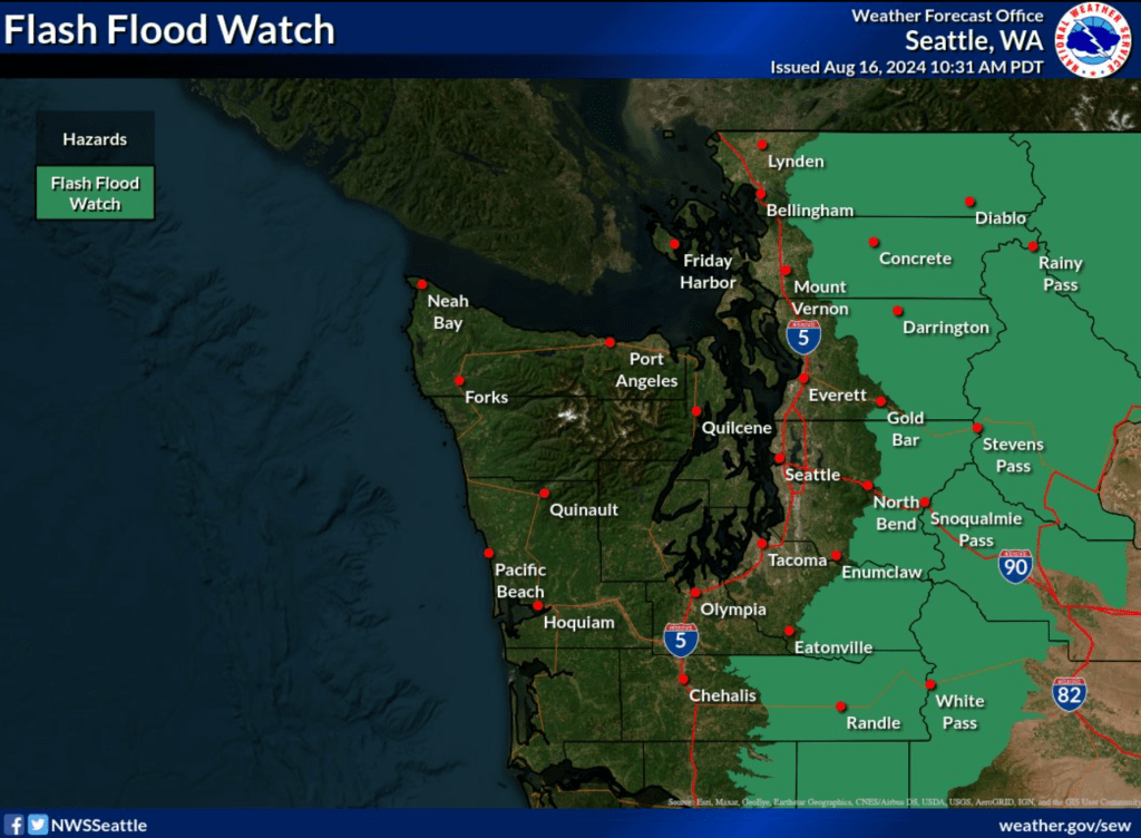
The flash flood watch area includes the west slopes of the North Cascades, including eastern Whatcom County. The watch is set to expire at 8am on Sunday, August 18th.
Current Nooksack River level forecasts reflect increases in the river levels but all remain far below action or flooding levels.
Whatcom News readers are encouraged to stay up to date with current weather alerts and forecasts and air quality readings for their specific Whatcom County locations along with tide tables via the Whatcom News Weather page.
Discover more from Whatcom News
Subscribe to get the latest posts sent to your email.