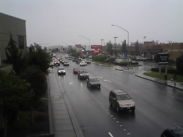
Forecasters say a weak system will bring high clouds into the area Saturday afternoon followed by a stronger and wetter system Sunday afternoon.
The colder and wetter weather will mark the first winter-like storm of the season as summer weather begins to relinquish its hold. The current expected high temperature Sunday, and continuing through the rest of the week, is more than 10° less than this week’s high temperatures. The chance of precipitation for Sunday is 90% followed by 80% on Monday.
The potential for rain continues through the remainder of the week but dwindles to 10% by Thursday.
According to National Weather Service forecasters, “Precipitation totals for Sunday through Monday are still likely to be mainly in the half inch to inch range for the interior lowlands of Western Washington, with more – up to one and a half inches – at the coast and in the mountains.”
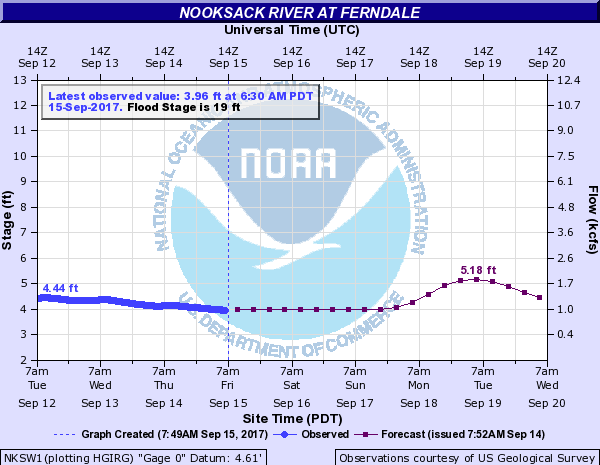
Rain in the mountains typically results in raising the level of the Nooksack River through Ferndale. Forecasters do predict a ‘bump’ in the river level Tuesday but, given the current level is between 4′ and 5′, the approximately 1′ bump will likely go unnoticed.
Discover more from Whatcom News
Subscribe to get the latest posts sent to your email.