While winds continue to blow with gusts in the upper 30 MPH range, all indications are today’s windstorm has done its worst and is abating.
The wind direction has shifted from south to westerly, temperature has dropped almost 3° F, air pressure has begun to increase noticeably and the dew point has dropped dramatically. These are all indications the worst of the windstorm has passed.
The two strongest wind gusts recorded in the Ferndale area today came just after 2pm and both were about 55 MPH. Those were the only gusts exceeding 50 MPH today.
With the exception of a localized outage on Harksell Road between Enterprise Road and I-5, there were no other reported power outages in the Ferndale area today.

Click for more information

Click for more information
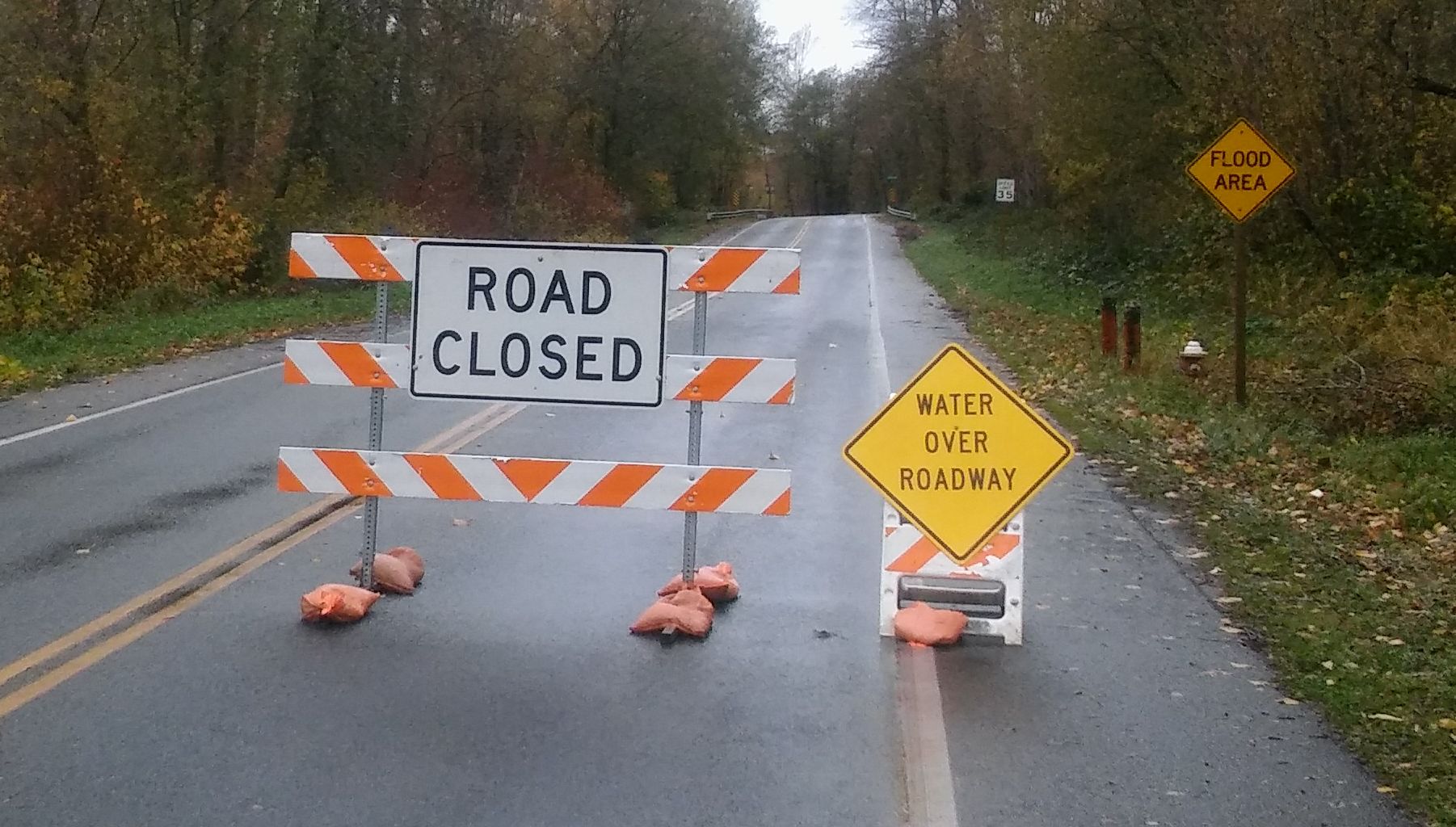
Looking toward the flooding expected later today and into tomorrow, the Nooksack River at Ferndale has begun to rise rapidly. It is expected to reach 17 feet around midnight tonight and crest late tomorrow mid-day at just over 19 feet. Last weekend’s flood event occurred when the river crested just over 17 feet. So it is likely there will be more and longer road closures as a result of the higher river level during this event.
Higher river levels are expected since the ground is already saturated from recent heavy rains and prior flooding. This impacts not only the river but also streams and creeks, which are expected to flood in places as well.
Drivers should be prepared to encounter water and debris over roadways and know to turn around and avoid water flowing across roads even if road closed signs have not yet gone up.
Current Ferndale road closure information can always be found on Discover Ferndale.
Discover more from Whatcom News
Subscribe to get the latest posts sent to your email.