
WHATCOM COUNTY, Wash. — High wind and wind chill warnings remain in effect this morning, Monday, December 27th, until 10am.
Wind gusts have dropped steadily overnight while temperatures have fallen into the single digits.
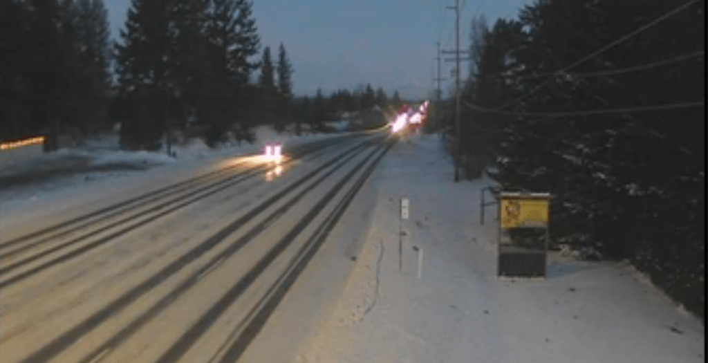
Motorists continue to be warned of challenging driving conditions while reports continue of towing companies and volunteer passerby pulling disabled vehicles back onto roads and out of snow drifts.
Officials with the Everson Police Department offered these tips for those who cannot avoid having to drive.

Click for more information

Click for more information
- Remove all snow from your vehicle before driving
- Turn on headlights for better visibility [and to be visible]
- 4X4 does not make you invincible, it only helps get you through the snow – it does not help you stop
- Use a safe following distance and drive slowly
- Give yourself extra stopping distance at intersections and stop signs
Puget Sound Energy (PSE) reported 1,872 of their customer addresses in Whatcom County and 3,881 across their entire service area were without power as of 6:30am. They issued the following statement last night.
Crews continue to respond to power outages caused by this weekend’s snowstorm and windy weather and will continue to work around the clock to restore power as it’s safe to do so. Freezing temperatures have created hazardous travel and working conditions.
As of 8 p.m. on December 26, we have approximately 5,100 customers without power across our service area, and we’ve restored service to 42,000 customers since the beginning of the snowstorm. Hard-hit areas include Skagit and Whatcom counties.
Deep snow and extreme cold are significantly impacting crew access in many locations. Multiple roadways across our service area, especially in Skagit and Whatcom counties, are closed. Crews are unable yet to safely access these areas to begin restoration efforts.
Advertisement
Click for more informationPuget Sound Energy (December 26, 2021)Advertisement
Click for more information


Officials with PSE also provided the following safety tips for those without power.
- Do not use charcoal or a gas grill to cook indoors
- If you choose to use a portable home generator, read the manufacturer’s instructions for the safe operation of the generator
- Do not operate generators indoors or in enclosed spaces to avoid the buildup of carbon monoxide
- If you’re using portable heaters, keep them away from furniture, draperies and other flammable material
- Always use flashlights instead of candles
- Never use a natural gas range for heating, or charcoal as an indoor heating or cooking source – This can cause a buildup of poisonous carbon monoxide gas
National Weather Service forecasters in the Seattle office offered the following weather outlook for western Washington earlier this morning.
Unseasonably cold temperatures will continue this week with a threat of lowland snow at times. The best chance for area-wide snow accumulations looks to be on Thursday. The lowland snow threat should finally end on Sunday as a somewhat warmer pacific frontal system arrives.Western Washington Area Forecast Discussion, National Weather Service Seattle (3:30am, December 27, 2021)
NWS forecasters say to expect Fraser Valley outflow winds to return to Whatcom County Tuesday. These are not expected to be as strong as was just experienced “but enough to bring windy conditions to the north interior again and cool highs over the interior slightly.”
Another weather system is expected to arrive from the northwest on Thursday, bringing the possibility for lowland snow. “Exact amounts are hard to pin down this far out but an ensemble mean suggests 1-3” of new snow is likely for much of [western Washington – about 1.5 for western Whatcom County]. At the same time, highs are forecast to warm into the mid to upper 30s so precipitation might start out as snow early Thursday then turn to a sloppy rain/snow mix later in the day.
Snow showers will taper from north to south Thursday night and early Friday with mostly dry weather for much of the day Friday. Highs will cool a few degrees on Friday as low level flow turns northerly again. A weak warm front in the west/northwest flow aloft could bring some light snow on Saturday. A wetter and warmer pacific frontal system is expected to reach the area on Sunday, finally ending the lowland snow threat.Western Washington Area Forecast Discussion, National Weather Service Seattle (3:30am, December 27, 2021)
Discover more from Whatcom News
Subscribe to get the latest posts sent to your email.