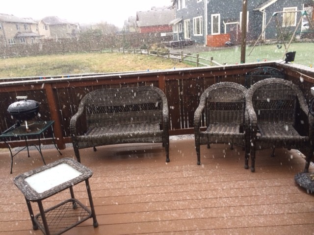
It is the topic of the weekend at the Ferndale events since, with one exception last December, it has been over two years since the Ferndale area has seen inches of snow on the ground.
Yesterday’s 1/2″ of rainfall happened before the cold front forecast to arrive tonight. Otherwise, several inches of frozen precipitation could have resulted.
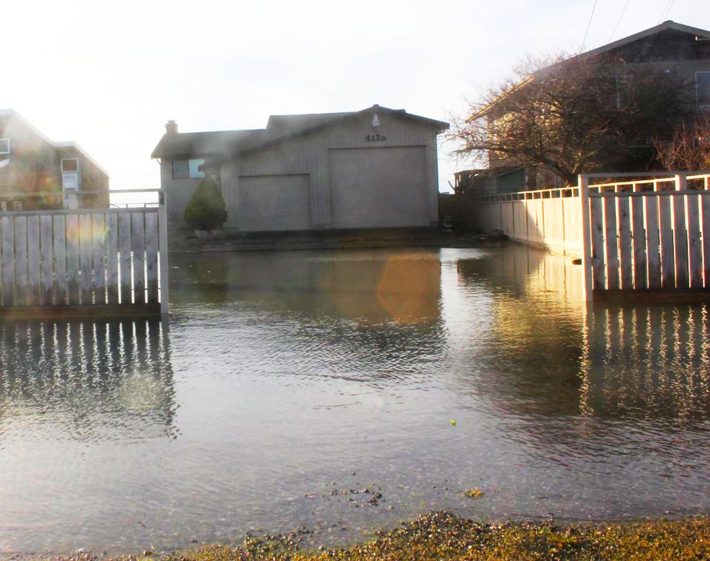
Today has been a calm and mostly sunny day with chilly temperatures just reaching over 40° in some areas. But near the Sound, such as at Sandy Point, strong winds pushed waves onto land. Flooding could be seen during the high tide period around 10am this morning. As the floodwaters receded with the tide, the roads were left strewn with debris.
The National Weather Service (NWS) has issued a Winter Weather Advisory for western Whatcom County, San Juan County and the Admiralty Inlet forewarning of much colder air flowing into the area from the BC coast tonight. Early Monday morning, a light south wind will help keep temperatures near the surface just above freezing but the air aloft will be cold enough to bring a mix of rain and snow showers down to sea level. The advisory is in effect Monday from 4am to noon.

Click for more information

Click for more information
Per the NWS advisory, the area forecast is for “1 to 2 inches of wet snow… mainly above 500 feet. Less than 1 inch of snow below 500 feet.”
A Fraser Valley outflow is expected to push the moisture on and out of the area Monday afternoon. This will also result in temperatures continuing to drop below freezing Tuesday and Wednesday. Any frozen precipitation on the ground and roads will likely stick around through Thursday as a result. This can create hazardous conditions, especially in shaded areas. Drivers will need to also be alert for black ice.
The possibility for more snow returns Thursday as a warm wet front is expected to push the colder dry air out. Snow is possible ahead of this front where the warm wet air collides with the cold dry air. Temperatures are expected to return above 40° so any frozen precipitation already on the ground and occurring ahead of this front is not expected to remain for long.
Discover more from Whatcom News
Subscribe to get the latest posts sent to your email.