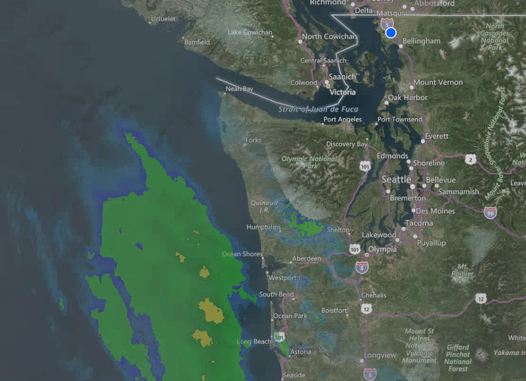
FERNDALE, Wash. — Forecasting the weather around the Puget Sound area, especially when frozen precipitation is involved, has always been a challenge for weather forecasters and this winter season is no different.
The past week has perplexed forecasters as they warned of powerful winds that, although all the variables lined up as expected, did not occur as expected. Or when they expected increases in temperature that would result in rain only to watch the Fraser Valley outflow hold down temperatures well below freezing which, in turn, resulted in additional accumulation of snow.
Today, US and Canadian weather service forecasters held their cards close waiting until this afternoon to release a forecast with confidence as a new and strong storm system is expected arrive this evening.
National Weather Service

Click for more information

Click for more information
A Winter Weather Advisory is in effect from 10pm this evening to 4am Saturday for western Whatcom County. 1-3 inches of snow is in the forecast tonight. Cooler air in Whatcom County should allow snow to fall for awhile before turning to rain overnight. The snow level will rise over the weekend. A typical weather pattern with lowland rain and mountain snow is likely for next week. A Wind Advisory is in effect from 10pm this evening to 10am Saturday. Southeast winds 25 to 35mph with gusts up to 50mph expected.
Environment Canada (nearby forecast)
Another strong Pacific Storm will affect the region tonight and Saturday. As another strong system moves on to the south coast tonight, cold outflow winds will help to lower surface temperatures to near the freezing mark through the evening. A few flurries are expected before snow develops in earnest later this evening. 3/4 to 3 inches of snow is forecast tonight. Warmer air should begin to penetrate inland on Saturday morning, leading to a transition to rain later that morning. An additional 3/4 to 1.5 inches are possible on Saturday morning. Timing this transition from snow to rain is always challenging in these situations. There is a chance that this transition could be delayed resulting in higher snowfall amounts.
There seems to be fair agreement that next week’s Ferndale area forecast is for temperatures to stay in the upper 30s to mid 40s with occasional rain. This leaves area residents and property owners with the question of how fast the current accumulation of several inches of snow will melt and if surface water flooding will be a concern.
Discover more from Whatcom News
Subscribe to get the latest posts sent to your email.