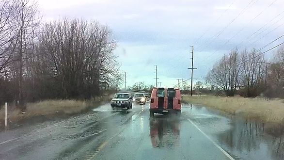
River floodwater is seen covering Slater Road east of the Nooksack River bridge while the river level was at 16.8 feet (February 16, 2017). Photo: Whatcom News
Discover more from Whatcom News
Subscribe to get the latest posts sent to your email.
River floodwater is seen covering Slater Road east of the Nooksack River bridge while the river level was at 16.8 feet (February 16, 2017). Photo: Whatcom News
Subscribe to get the latest posts sent to your email.