WHATCOM COUNTY, Wash. — The National Weather Service (NWS) Seattle office forecasters are expecting a wet weather system to arrive this evening bringing potentially heavy precipitation and powerful winds.
Powerful winds possible through tomorrow
NWS has issued a wind advisory for Whatcom County forewarning of southerly sustained winds of 30 to 40mph with gusts to 50mph and a wind warning for nearby San Juan islands warning of gusts to 60mph. For 7pm tonight, Friday, December 17th, through 4pm tomorrow.
Heavy rain expected
This system, while described by forecasters as an atmospheric river (AR), is “not akin” to the recent ARs that have caused historical flooding in Whatcom County with a half to an inch of rainfall expected in the lowlands and new snow accumulations of 12 to over 20 inches in the mountains.
The heaviest lowland rains are expected late Saturday afternoon. A slight rise to the Nooksack River level is expected but the level is forecast to remain well below “Action Level.”

Click for more information

Click for more information
This initial warm front will boost snow levels over the area, but the follow up cold front that pushes through the area during the day Saturday will bring those snow levels right back down again as precipitation persists.National Weather Service Seattle office (December 17, 2021)
Lowland snow could happen
Another overnight weather consideration is snow. While a winter storm watch will be in effect from this evening through Sunday morning above 3,000 feet, there is also a possibility for lowland snow. Environment Canada forecasters say the expected heavy precipitation may allow the snow levels to drop closer to sea level, resulting in snowfall accumulations of as much as 1 inch near sea level.
The forecast models agree snow potential depends on how low the temperature actually drops, but what the early morning temperature will be is where the models disagree.
Any lowland snow is expected to be short-lived as temperatures are forecast to swing back up into the low- to mid-40s tomorrow morning.

Click for more information

Click for more information
Easterly winds expected to pull in cold air and bring strong gusts
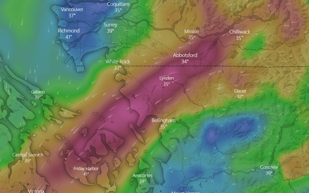
Winds are expected to remain southerly until shifting to northeasterly on Sunday. This is forecast to pull cold mountain air into the lowlands. Temperatures in the 30s and as low as high-20s can be expected as long as north, easterly and northeasterly winds continue, which currently appears to be at least into Tuesday.
Northeasterly winds often pose the potential for Fraser Valley outflow winds which historically can be powerful and damaging through a narrow corridor across Whatcom County. Current computer model forecasts expect up to 45mph gusts Sunday afternoon within this corridor.
Whatcom News readers are encouraged to stay up to date with current weather alerts and forecasts and air quality readings for their specific Whatcom County locations along with tide tables via the Whatcom News Weather page.
Discover more from Whatcom News
Subscribe to get the latest posts sent to your email.