WHATCOM COUNTY, Wash. — National Weather Service (NWS) forecasters in the Seattle office issued a winter weather advisory for the lowlands of Whatcom County, including Point Roberts and Lummi Island, due to expected snow.
The advisory is effective from 4pm today, Saturday, February 25th, to 10pm Sunday.
The advisory statement says to expect total snow accumulations of up to 10 inches.
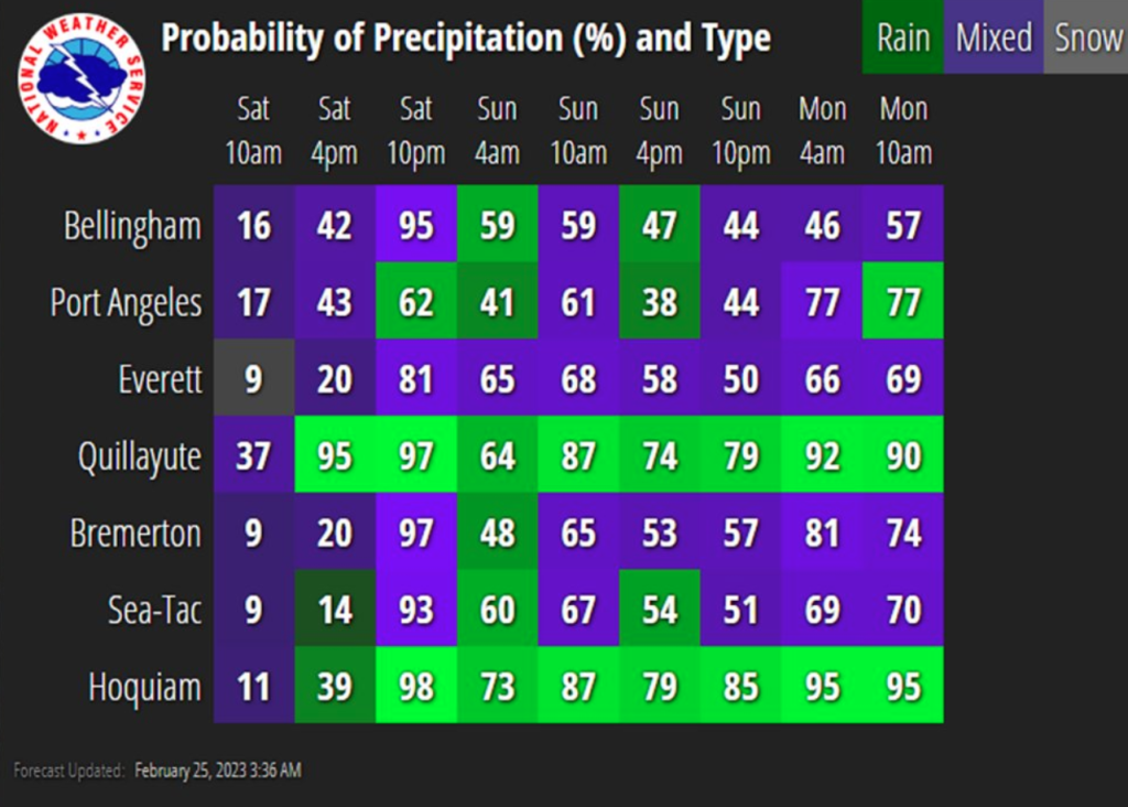
Error, group does not exist! Check your syntax! (ID: 11)A mix of light rain & snow will overspread the [western Washington] region this afternoon before transitioning to mostly snow by tonight.
Advertisement
Click for more informationNational Weather Service Seattle office (February 25, 2023)Advertisement
Click for more information


Forecasters with Environment Canada are in agreement and have issued snowfall warnings across the southern border of British Columbia due to expected snowfall of 6 to 10 inches with local amounts up to 14 inches.
Periods of light snow will start this afternoon and intensify to heavy snow this evening. Heavy snow is expected to ease early Sunday morning for most regions. Environment Canada (February 25, 2023)
Current temperatures for the advisory area have been in the 20s and 30s but remained dry. A weather system is expected to move into the local area from the northwest bringing precipitation. High temperatures are expected to increase to around 40° and lows will continue to plummet below freezing.
A winter storm warning will be in effect from 10pm today to 10pm Sunday for the higher elevations of the eastern county, including Maple Falls and Newhalem, due to expected new snow accumulations of 8 to 22 inches and wind gusts as high as 40mph.
Looking into the extended forecast, NWS forecasters say, “An unsettled pattern will continue into the middle part of next week with several weak frontal systems bringing continued rounds of light rain and snow to the region along with below normal temperatures.”
Whatcom News readers are encouraged to stay up to date with current weather alerts and forecasts and air quality readings for their specific Whatcom County locations along with tide tables via the Whatcom News Weather page.
Discover more from Whatcom News
Subscribe to get the latest posts sent to your email.