WHATCOM COUNTY, Wash. — Forecasters with the Seattle office of the National Weather Service have issued a winter storm warning that will be in effect from 4pm today, Wednesday, January 5th, to 4am tomorrow.
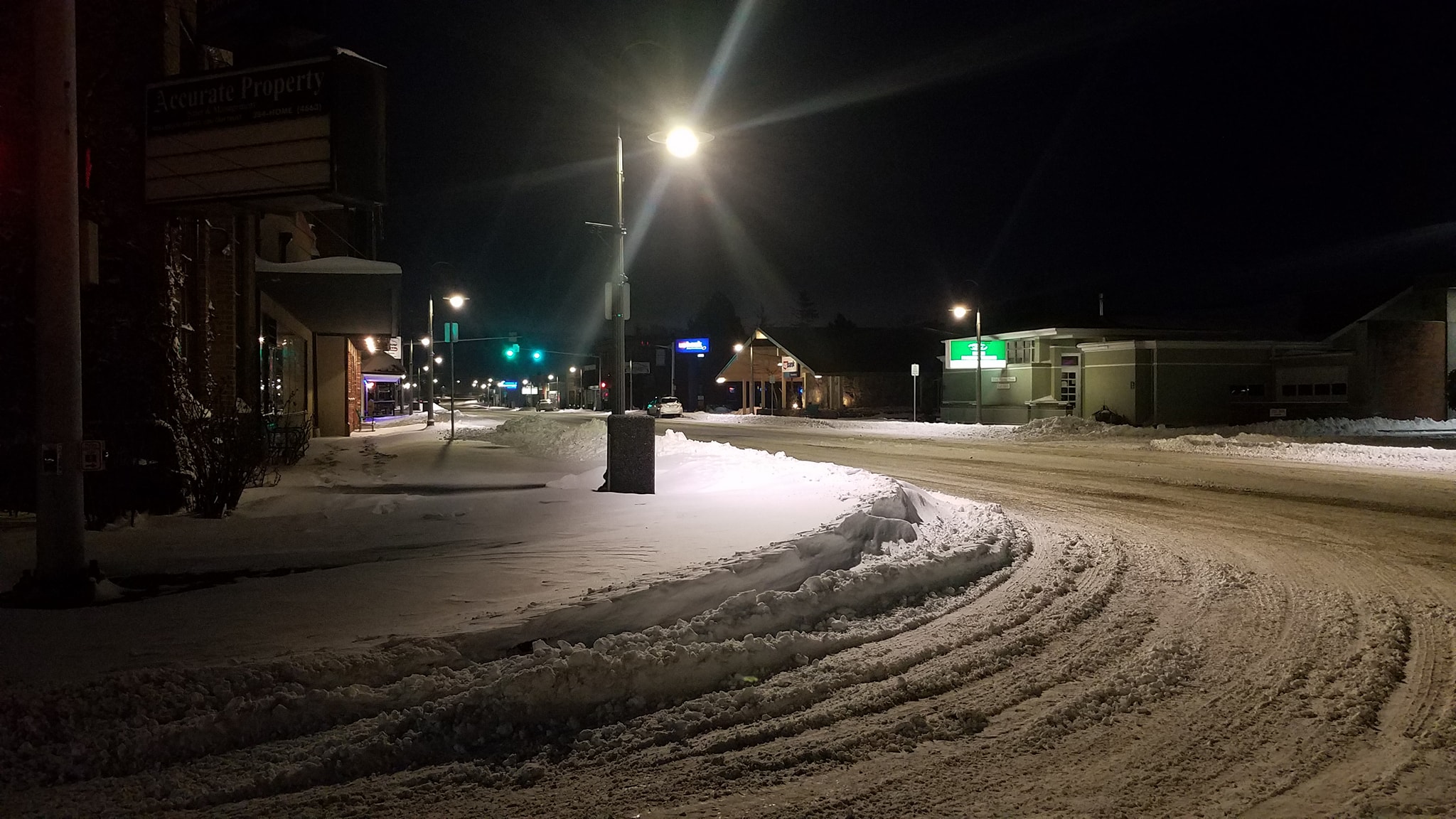
The warning says to expect heavy snow in the Whatcom County lowlands, including Point Roberts and Lummi Island, with total snow accumulations of 2 to 6 inches.
In addition, northeast winds with gusts into the 35mph range are expected to cause local blowing snow and a brief period of light freezing rain is possible Thursday morning.
This snow event is due to a large warm and wet system moving into western Washington from the southwest. With the aid of the northeasterly Fraser Valley outflow winds, the frigid surface air will remain while the system moves in over the top, creating the opportunity for the expected snow event.

Click for more information

Click for more information
But by the late morning hours on Thursday, this warmer air will replace the frigid surface air as winds shift to the southeast and temperatures around western Whatcom County rise from at or below freezing to 40° and higher by early afternoon. Snow will change to rain during this transition with the possibility of the brief period of freezing rain in the process.
This warming combined with rain can be expected to quickly melt any accumulated frozen precipitation.
Forecasters expect periods of light to moderate precipitation to continue through the weekend. There will be chances for snow but with little or no accumulation during the colder overnight periods and rain during the warmer daytime periods. Overnight lows are expected in the upper 20s while daytime highs will be in the 40s.
Discover more from Whatcom News
Subscribe to get the latest posts sent to your email.