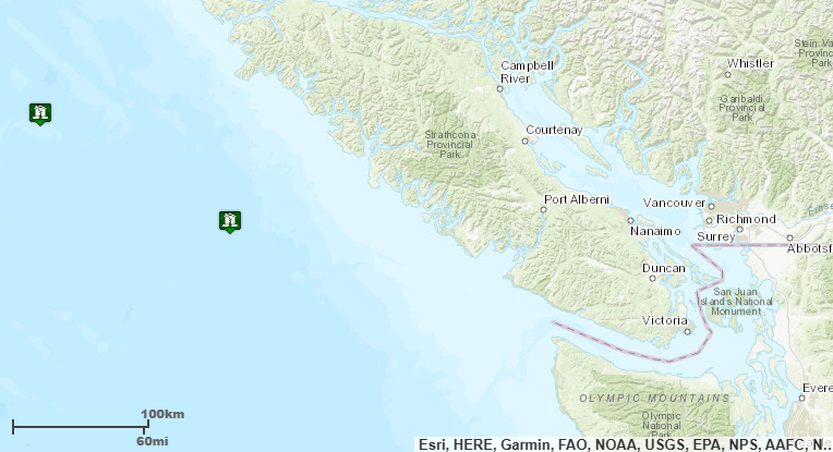
A magnitude 6.4 earthquake occurred about 8:09am on Thursday, July 11th, with its epicenter located 120 miles southwest of Port Alice, BC, at a depth of 7 miles. A second quake of magnitude 5.4 occurred 9:18am with its epicenter located 40 miles southwest of Port Alice, BC, at a depth of 7 miles. Officials with the National Weather Service National Tsunami Warning Center in Palmer Alaska said not to expect a tsunami along the west coasts of Canada and the lower United States as a result of either event.
The Pacific Tsunami Warning Center (PTWC) issued a statement minutes after the first quake stating that, “There is no tsunami danger for the U.S. West Coast, British Columbia, or Alaska.”
The PTWC issued another statement minutes after the second quake also stating that, “There is no tsunami danger from this earthquake.”
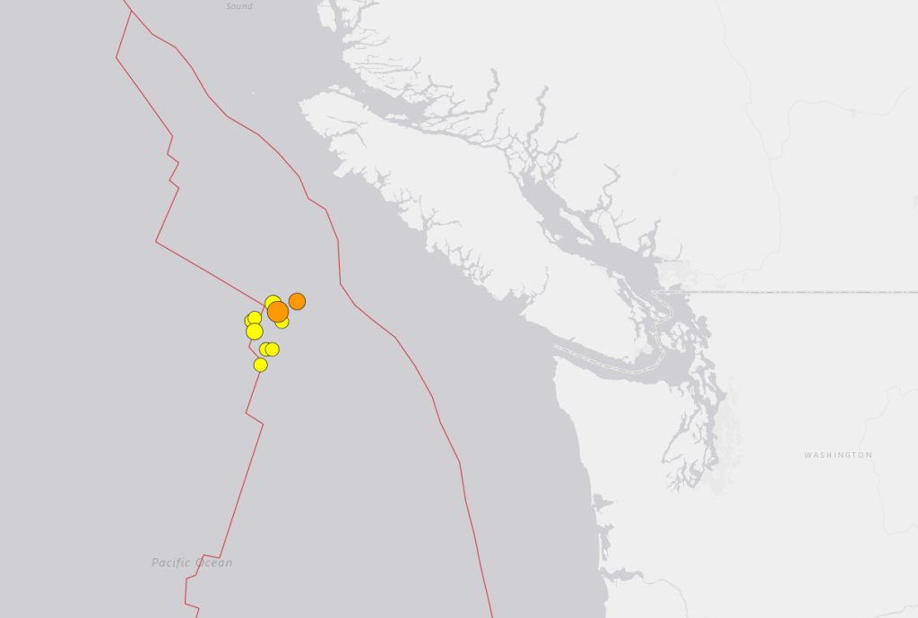
There have been 17 recent earthquakes, mostly M4 strength, reported in the same region over the past 2 weeks. US Geological Survey identified the M6.4 quake as “the potential mainshock” of the following earthquake sequence.
- M6.4 on July 11th
- M5.7 on July 4th
- M5.4 on July 11th
- M5.2 on July 8th
- M4.3 on July 4th
- M4.3 on July 3rd
- M4.3 on July 3rd
- M4.0 on July 5th
Seismologists with the Puget Northwest Seismic Network said, “This swarm of earthquakes does not represent a threat. They are NOT located on the Cascadia subduction zone, but are much farther offshore.”
UPDATE: As this story was being published, a third quake, M4.6 at about 10:34am, was reported in the same area. No tsunami danger was expected from this earthquake.
Discover more from Whatcom News
Subscribe to get the latest posts sent to your email.