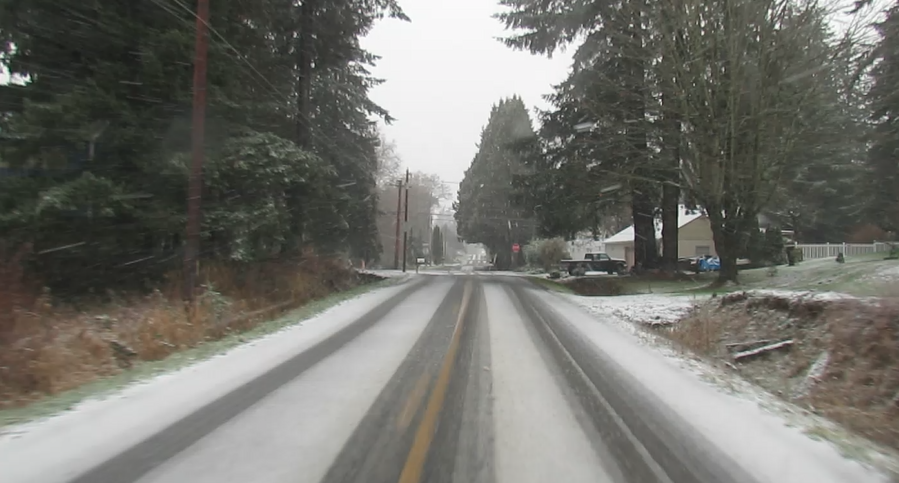
Today, forecasters issued a Special Weather Statement forewarning of the possibility of snow in the lowlands the evening of Christmas Eve.
A weather system is expected to arrive Sunday that will increase the possibility of precipitation. A cold front is then expected Sunday night and rain will become more showery and temperatures will drop enough to support snow down to sea level.
As a result, snow showers are possible Sunday night. Showers will lessen Monday morning and end Monday afternoon according to forecasters.
Discover more from Whatcom News
Subscribe to get the latest posts sent to your email.