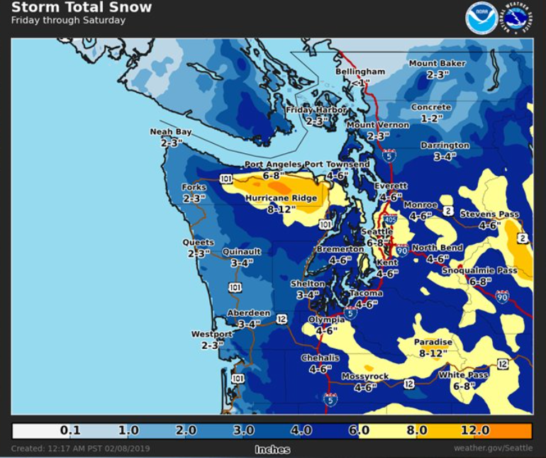
Snow is expected to begin falling today, Friday, February 8th, throughout Washington. Some parts of western Washington can expect to see total accumulations of 6 to 8 inches over the next 24 hours. But that forecast does not apply to the Ferndale area according to National Weather Service (NWS) Seattle office forecasters.
Western Whatcom County may see an inch of snow over the next 24 hours according to this morning’s updated forecast with snowfall totals of 1 to 4 inches expected around the northern interior region, including the Ferndale area. A Winter Weather Advisory is in effect through noon tomorrow.
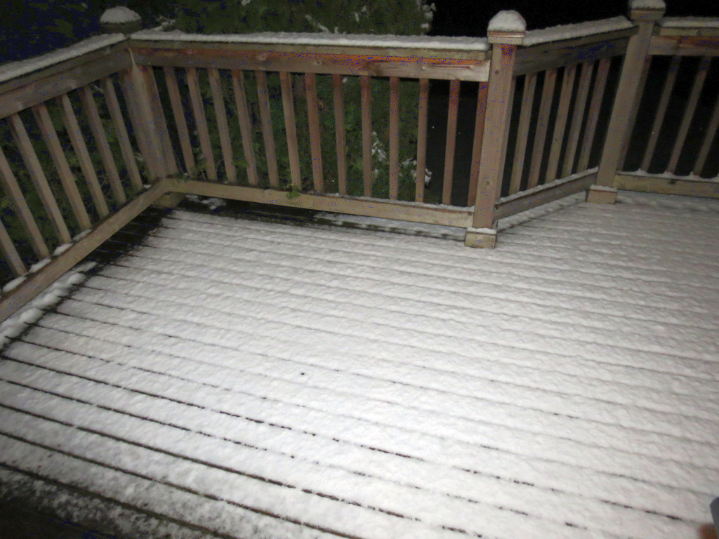
The latest computer models are expecting up to an inch of snow accumulation for the Ferndale area. The chance of precipitation ranges from 40 to 65% today, dropping to below 20% Saturday morning. In short, another dusting much as was seen earlier this week can be expected.
Given the minimal snow forecast, winds are likely to be the Ferndale area’s biggest concern. A High Wind Warning will be in effect from 10pm tonight through midnight Saturday night with sustained northeast winds of 30 to 40mph with gusts to 60mph. The strongest winds are expected late Saturday afternoon and Saturday evening.
Drivers should be alert for slick roads and limited visibility from blowing snow over the weekend. The high winds are forecast to be more powerful than the winds that caused several outages impacting thousands in the Ferndale area earlier this week.
More snowfall appears possible Monday through Tuesday and again late Wednesday through Thursday. More on those events later after forecasters’ confidence in the computer forecast models has improved.
Discover more from Whatcom News
Subscribe to get the latest posts sent to your email.