Snow has been falling since around 7pm tonight, Monday, February 11th, in most Ferndale areas. And most everyone knows forecasters have warned to expect a lot more snow by 6pm tomorrow. So, what can we expect by tomorrow morning?
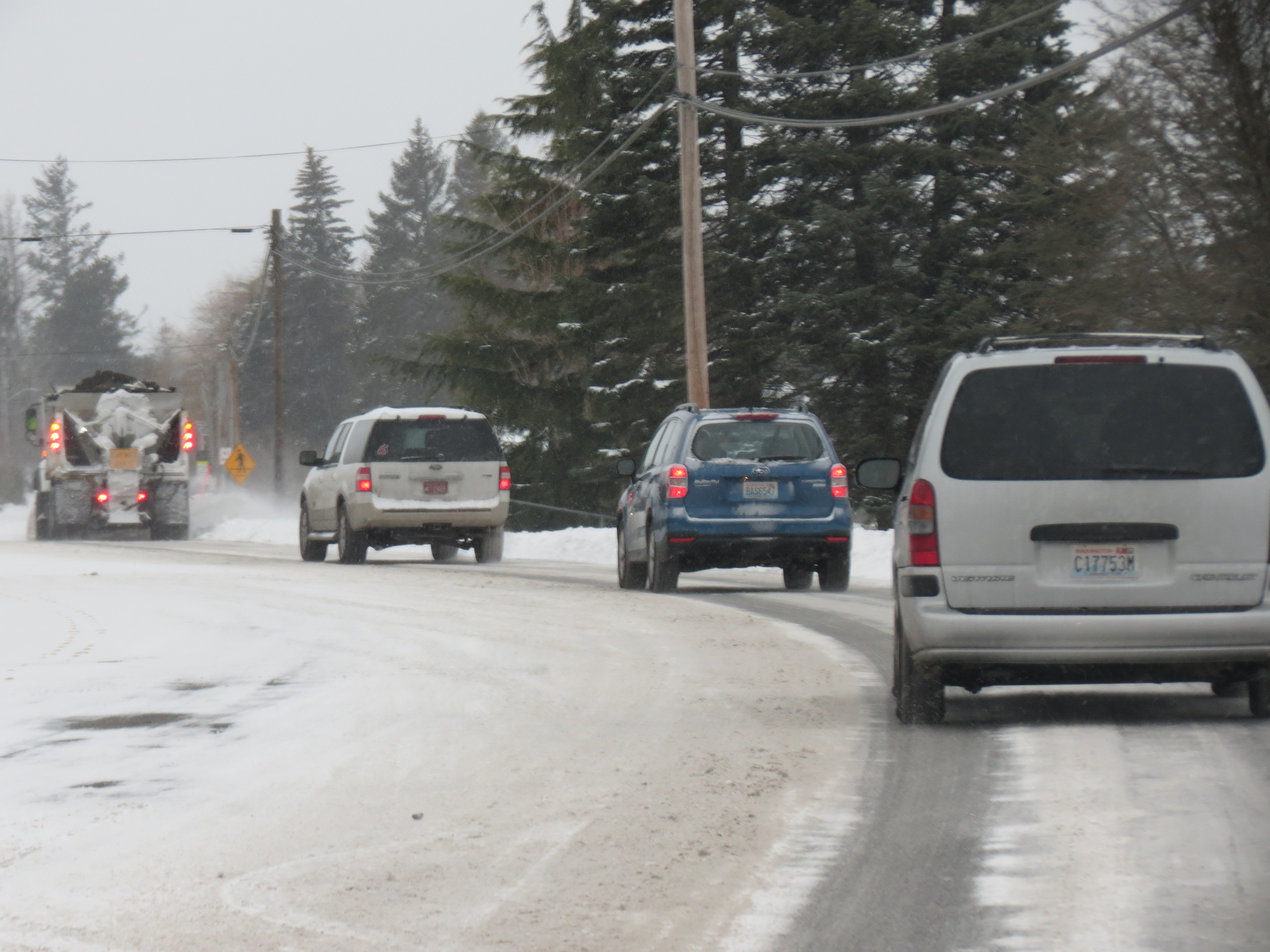
This morning the Ferndale area woke to about 2 to 4 inches of mostly windblown snow. Main arterials were mostly clear and presented fewer challenges to drivers than the many side streets that had not seen a plow.
National Weather Service forecasters have issued a Winter Storm Warning specifically for western Whatcom County that will be in effect until 6pm tomorrow. Total snow accumulations of 5 to 8 inches are expected and will be accompanied by northeast winds of 15 to 30mph.
This is expected to be heavier and wetter snow than fell recently according to the statement. The majority of the new accumulation (3 to 5 inches) is expected to fall by morning.

Click for more information

Click for more information
This means the morning commute may be worse tomorrow than this morning given the heavier amount of snow. In addition, snowfall is expected to continue until nearly noon tomorrow.
Another 1 to 3 inches is expected to fall Tuesday according to NWS forecasters.
The Whatcom Unified Emergency Coordination Center issued an alert tonight regarding the overnight snow. “The main concern at this point is that this snow is very wet/heavy and has led to a high threat of tree damage, power outages, snow sliding off roofs, and even roof collapse.”
Little snow is expected Wednesday as the precipitation chance drops below 20%.
Thursday marks a turning point in the current weather pattern as daytime temperatures are expected to rise above freezing into the upper-30s through the weekend, although dropping back below during the evenings.
Warmer temperatures combined with a return of precipitation makes for combined rain/snow forecasts into the weekend.
Discover more from Whatcom News
Subscribe to get the latest posts sent to your email.