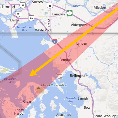
WHATCOM COUNTY, Wash. — A shift to northeasterly winds from a Fraser Valley outflow weather event is expected to result in a sudden drop in temperatures across Whatcom County beginning Thursday, January 11th.
Fraser River outflow winds gusting up to 50mph are expected to begin Thursday night. With those winds, there will be the possibility of light snow with temperatures dropping below freezing.
With the wind gusts, wind chill values are expected to drop below 0°.
The National Weather Service Seattle office (NWS) is expected to issue wind and wind chill advisories for Whatcom County in anticipation of this weather pattern.

Click for more information

Click for more information
NWS currently expects Whatcom County lowland snow accumulations of 0 to 2 inches between Thursday and Saturday.
Low temperatures currently forecast across Whatcom County for later this week are detailed below.
Area Wed Thu Fri Sat Sun Bellingham 35° 10° 3° 7° 14° Lummi Island 37° 14° 10° 12° 24° Sandy Point 37° 24° 18° 18° 23° Birch Bay 38° 15° 10° 11° 18° Blaine 37° 11° 5° 9° 17° Point Roberts 40° 19° 13° 14° 20° Ferndale 36° 10° 3° 8° 15° Laurel 35° 9° 3° 7° 15° Lynden 35° 9° 3° 7° 14° Sumas 34° 8° 2° 6° 14° Everson/Nooksack 34° 8° 3° 6° 14° Maple Falls 33° 7° 1° 4° 12° Glacier 32° 8° 3° 4° 12° Deming 36° 11° 4° 7° 16° Acme 33° 14° 10° 10° 20° Sudden Valley 34° 16° 11° 12° 22°
Whatcom News readers are encouraged to stay up to date with current weather alerts and forecasts and air quality readings for their specific Whatcom County locations along with tide tables via the Whatcom News Weather page.
Discover more from Whatcom News
Subscribe to get the latest posts sent to your email.